Home
Maritime Boundaries
Maritime Ports
Shorelines
Maritime Wrecks
Maritime Piracy
Broadcast Warnings
Licensing
Pricing
Ordering


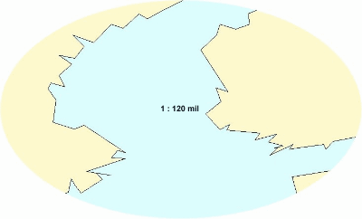
The GSD is a GIS database of world international boundaries and shorelines. The database contains ArcView shapefiles and ArcInfo coverages in six different scales. The six different scales provide varying degrees of boundary and coastline detail. The six scales provided are listed below:

  • 1 : 120,000,000
  • 1 : 40,000,000
  • 1 : 12,000,000
  • 1 : 3,000,000
  • 1 : 1,000,000
  • 1 : 250,000

GSD screenshot


Click here to see the different scales provided.

Top